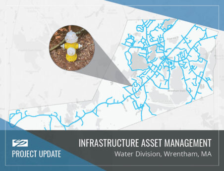
EP recently assisted the Town of Wrentham Department of Public Works (DPW) update their water distribution system mapping to a Geographic Information Systems (GIS) platform.
To improve existing data and provide new data, EP used global positioning system (GPS) technology to locate above ground assets and used record drawings to assist with location of buried assets. EP linked information such as previous service records, photos, and record information to allow DPW personnel to select a parcel and view older water records and service history of their assets. The secure, streamlined Water Division database combined new and old data into a cost-effective and efficient web-based dashboard, supporting the Wrentham DPW’s goal to provide exceptional municipal services through innovation and teamwork.


