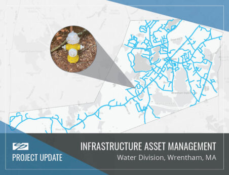
GIS Platform Development (Design, Implementation, and Training)
GIS technology helps municipal departments to accomplish operations, maintenance, and improvement tasks more quickly and efficiently.
Provided Geographic Information System (GIS) and related mapping design, implementation, and training for many municipalities, Environmental Partners (EP) has GIS professionals that work closely with municipal staff and leaders to develop systems tailored to unique operational needs, technical capabilities, and available budget. EP’s staff utilizes the latest software products including GPS and mobile computing and are ESRI trained, allowing for the most comprehensive services to meet all client needs. EP is also equipped to assist in the development of an ArcIMS application. Knowledgeable staff can guide clients through each step of the process from server and software purchases to final online mapping, web site development, and implementation.